Must-Do Walks in the Peak District

The ultimate Peak District walking guide!

Castleton & Mam Tor

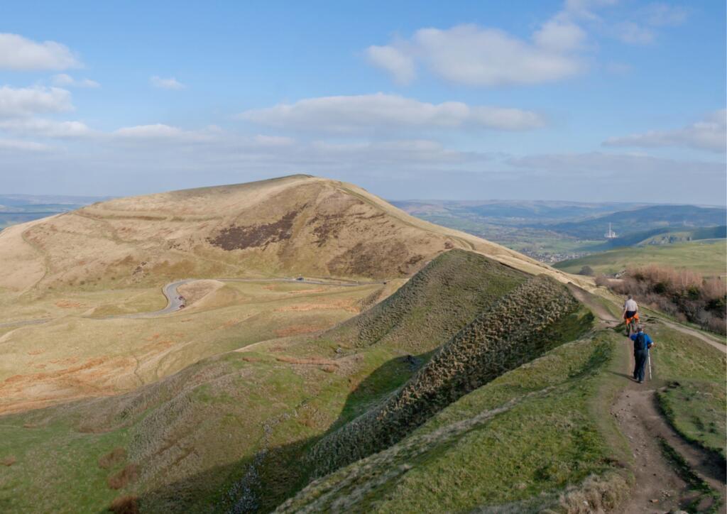
This iconic route is about 7.5 miles long and starts in the beautiful tourist hot-spot of Castleton. It is a moderate route that ventures up Mam Tor (or mother hill) and along the Great Ridge with absolutely spectacular views. Although hilly to start with, once you get up to the ridge, the walk is mainly flat/downhill so is perfect for taking in the scenery.
ROUTE MAP

Chrome Hill and Dragons Back

Bakewell & Chatsworth

Chatsworth grounds

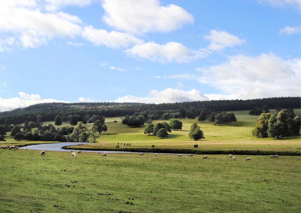
Explore the iconic Chatsworth House and it's grounds with this great 6.5 mile walk. Starting in the must-visit town of Bakewell heading through woodlands and onto the pastures of the Chatsworth grounds (where you can look out for deer and other wildlife) then along the river and back to Bakewell.

ROUTE MAP

Edale & Kinder Scout

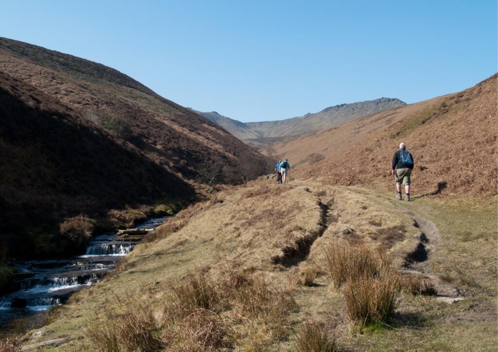
Visit Edale and experience the breath taking surrounding landscapes with this 8 mile route. This route starts in the small village of Edale which sits at the foot of the highest point in the Peak District, Kinder Scout. This walk is hilly and the plateaus of Kinder Scout are prone to high winds at times however the views are worth it!

ROUTE MAP

Peak District Hiking

Derwent Dam & Ladybower

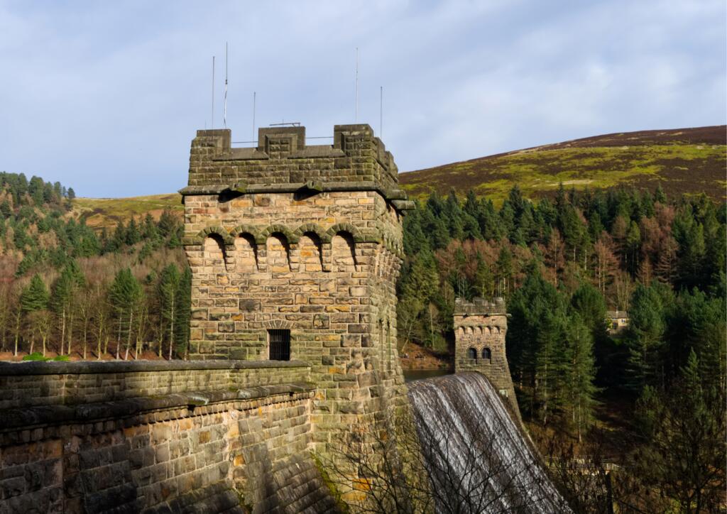
Derwent Dam

See the historic Derwent Dam and head high up onto the moorlands for incredible views with this short but hilly 4.5 mile walk. This route can be easily extended with plenty of surrounding footpaths, perfect for exploring the scenic reservoirs.

ROUTE MAP

Three Shire's Head

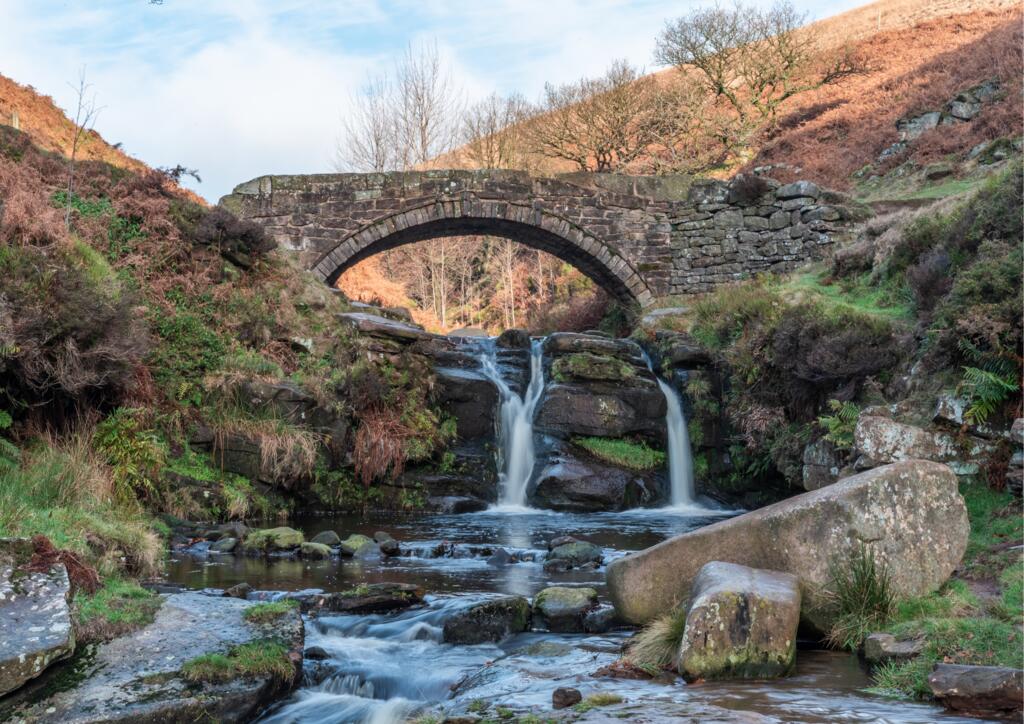
Three Shire's Head is the point on Axe Edge Moor where Derbyshire, Cheshire and Staffordshire meet, this is marked by a waterfall and bridge which is a great spot for wild swimming as well as a popular walking area. This route is about 5 miles and starts from Clough House Car Park, around 25 minutes drive from the pub.

ROUTE MAP

Three Shires Head

The Roaches

Peak District

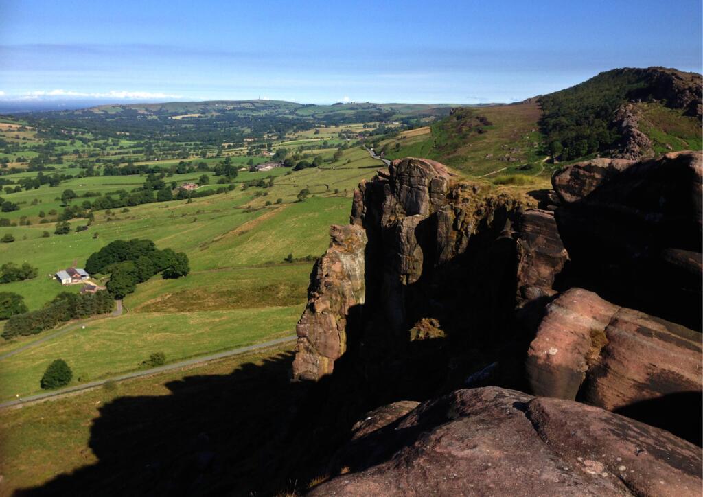
The Roaches is a prominent rocky ridge in Staffordshire, overlooking Leek and Tittesworth Reservoir. It is a popular location for climbers and walkers. This 6 mile circular route takes you across the rocky Roaches to Lud's Church, a mysterious moss covered gorge, with spectacular views and wildlife spotting opportunities on the way.

ROUTE MAP

Padley Gorge

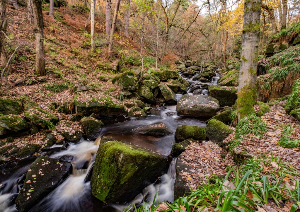
This stunning 4.5 mile circular route starts from Grindleford Station, less than a half hour drive from the Oak towards the very picturesque and popular area of Hope Valley. It ventures through the woodlands of Padley Gorge alongside a river before emerging onto moorlands with great views.

ROUTE MAP

Autumn Woodland

Bleaklow Bomber

Bleaklow Bomber

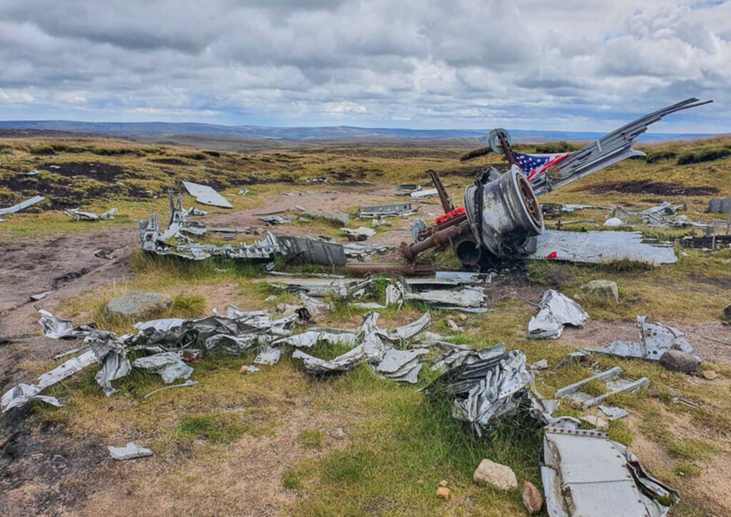
This route is close to Glossop. It is relatively short at under 4 miles, leaving lots of time to explore the plane crash site. The B29 ‘Bleaklow Bomber’ crash site features the remains of a U.S. air force Superfortress aircraft, which crashed in November 1948 during a routine domestic flight between bases within the UK.

ROUTE MAP