Walks From The Pub

From The Doorstep... To The Doorstep...

The Trails

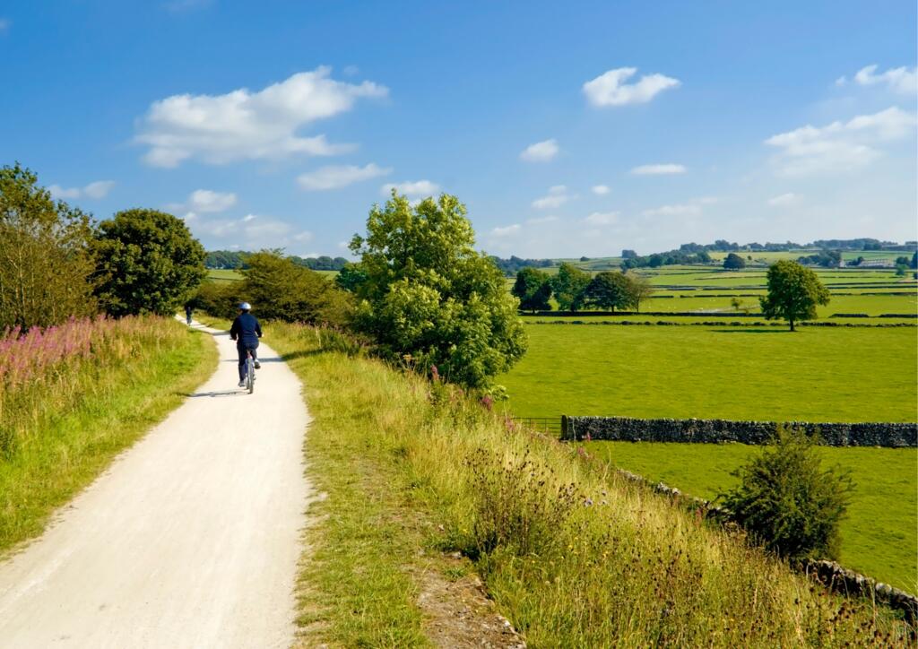
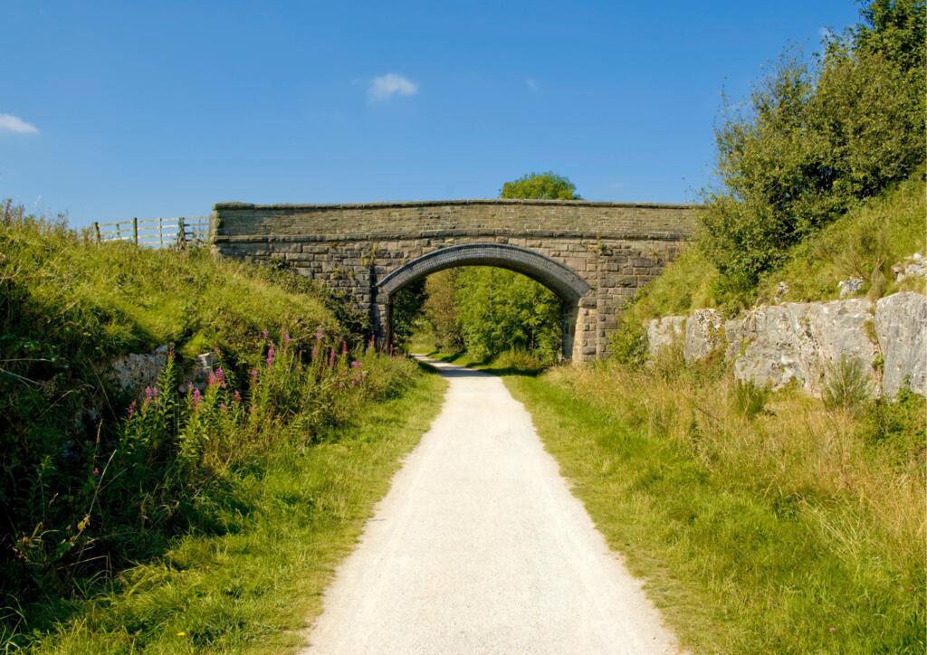
We are lucky to be positioned directly on the High Peak and Tissington trails. These trails run 17.5 and 13 miles respectively along disused railway lines across the Peak District. They are great for cycling, walking and running for all abilities as they are flat and even underfoot, and with access onto the trail via our campsite, it couldn't be easier!
High Peak Trail Map  Tissington Trail Map

Tissington Trail

3 Mile Loop

Tissington Trail

Perfect for a short wander, this 3 mile loop is relatively flat and can also be made into a short 1 mile loop by turning back on the lane between Hurdlow Grange and the pub.

Route Map

4.5 Mile Loop

This simple route  can also be shortened to 3 miles by taking the first lane that intersects.

Route Map

Tissington Tril

9 Mile Loop

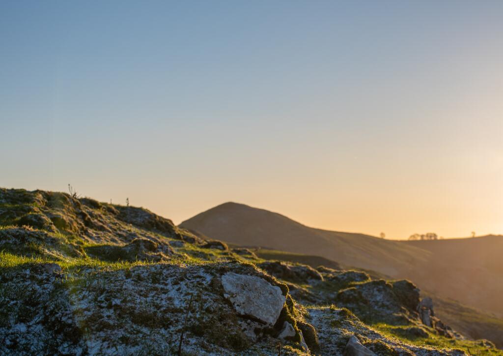
Peak District Sunset

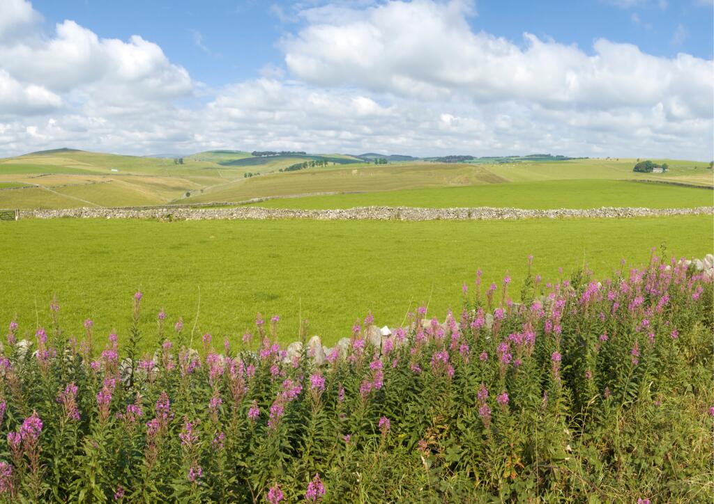
This 9 mile loop uses the trail that runs along our campsite before cutting over towards High Wheeldon Hill, then through Crowdicote, along the river and back towards the trail at Parsley Hay.

Route Map

Flagg Loop

This 6.5 mile route heads the other way by crossing the main road and then through the fields to the village of Flagg. You then cross the main road again near Pomeroy Dairy and join the trail to head back to the pub. 

Route Map

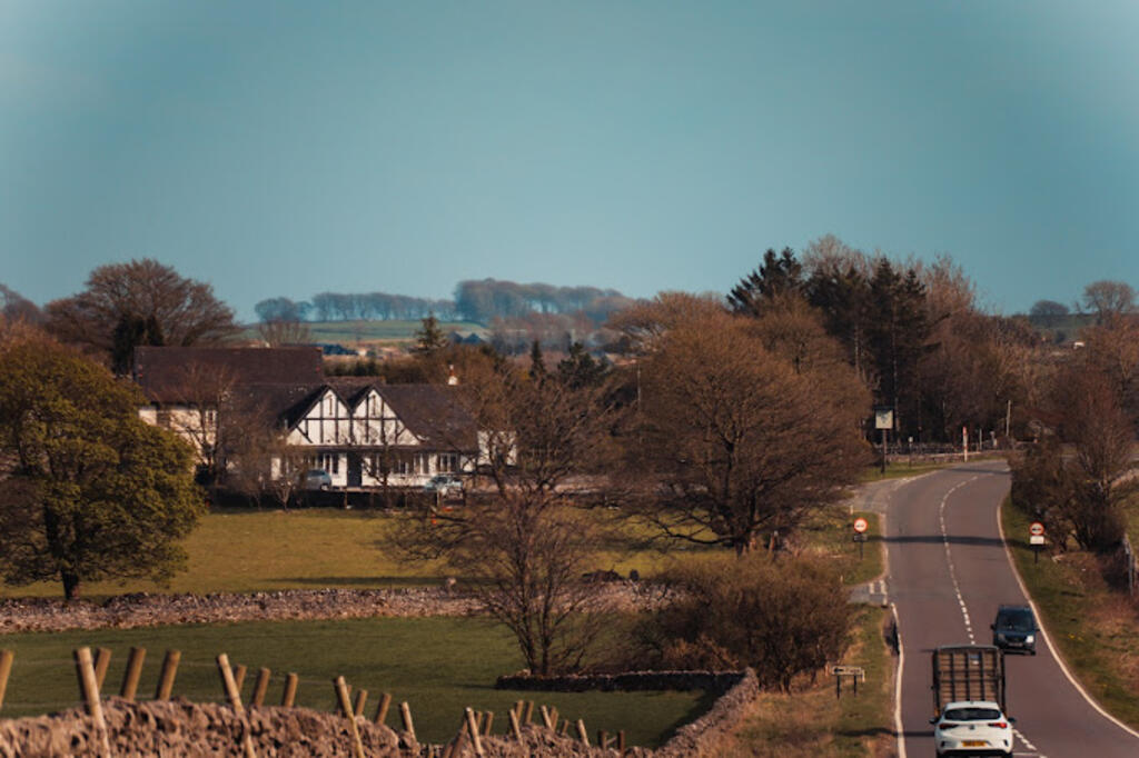
The Bull i' th' Thorn Pub and Pizzeria Sister Pub

Longnor Loop

Countryside

This 8 mile loop heads uphill to High Wheeldon before dropping down into the village of Longnor, (perfect for a half way break) then it continues along the river to join the same path from the previous loop and re-join the trail heading back to the pub.

Route Map

Lathkill Dale from the Pub

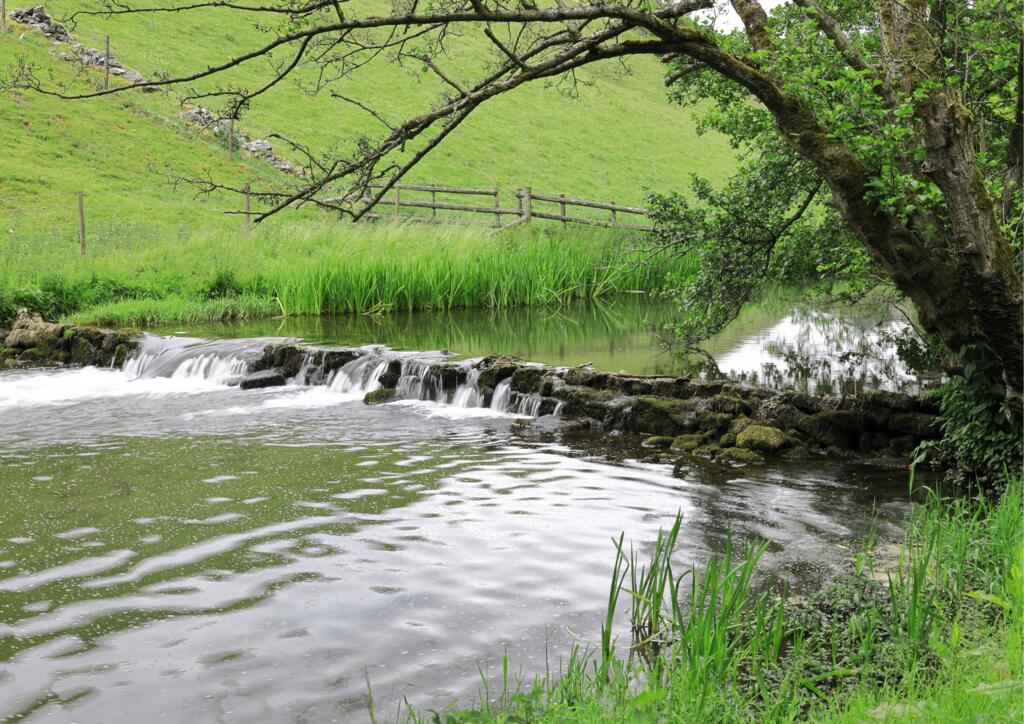
Lathkill Dale is a picturesque route near the village of Monyash. You may choose to start your route in Monyash, heading through the dale, alongside waterfalls and wildlife before heading up onto fields the take you back towards the village. This route is 4 miles in total.

However, as Monyash is one of the nearest villages to our pub, you can extend the route, starting and ending at the pub and adding an opportunity to explore the quaint village as well.

Route Map Shorter Route

Peak District

Chrome Hill from the Pub

Chrome Hill and Dragons Back

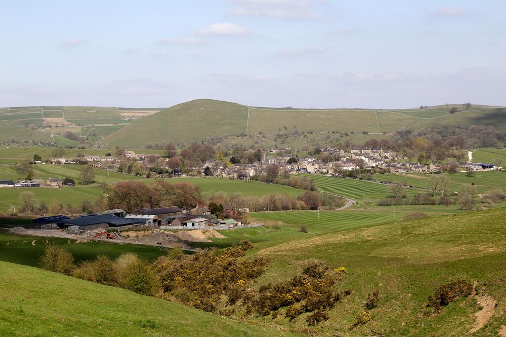
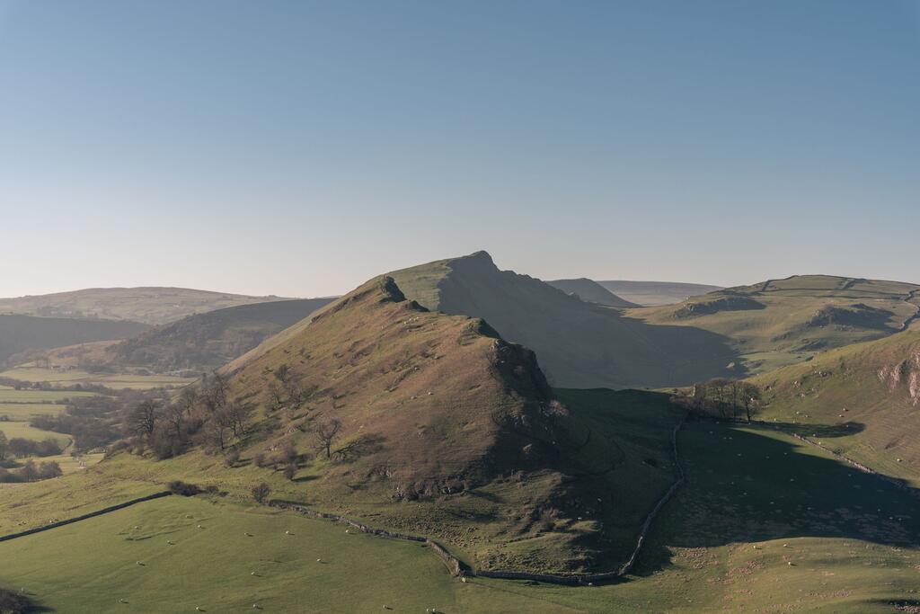
Parkhouse Hill and Chrome Hill, also known as the Dragon's Back Ridge, are two of the most famous limestone hills in the Peak District. They are known for their distinctive shape (hence the Dragon's back name) and the astonishing views they provide over the surrounding countryside.

Most people choose to explore these well known hills from the nearby village of Earl Sterndale which is accessible by foot from our pub. The maps below show the full walking route from the pub to Earl Sterndale, Parkhouse Hill, Chrome Hill and back again, which is around 11 miles all together.

Route Map Shorter Route